walk
4 Day Self-Guided
About the walk
- 4 days / 3 nights - 60km
- Self-guided hiking
- Self-carry gear
- Transfers to start/end
- Exclusive accommodation
- Most meals
- Min 6, Max. 12 hikers
Group Size
Max. 12General info
For independent and experienced hikersAccommodation


Trail info
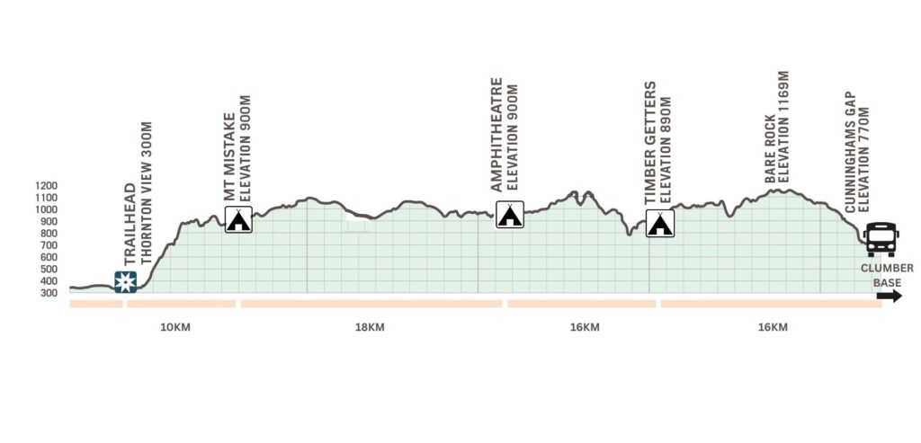
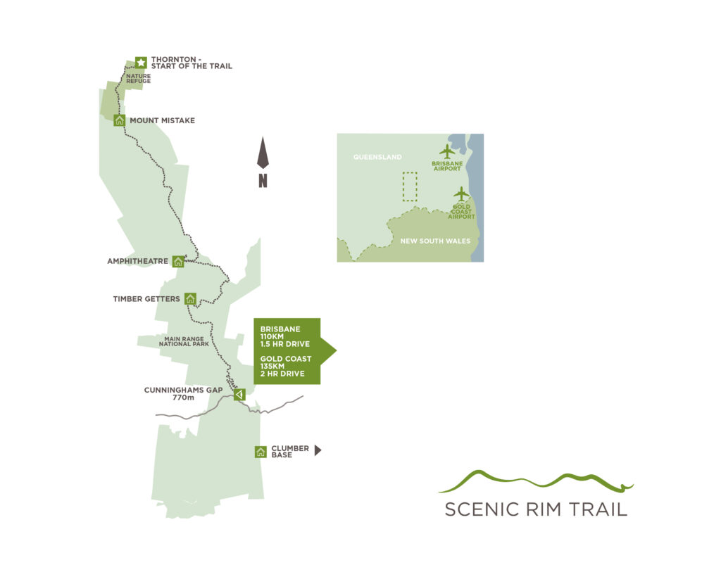
DAY 1 – 10KM
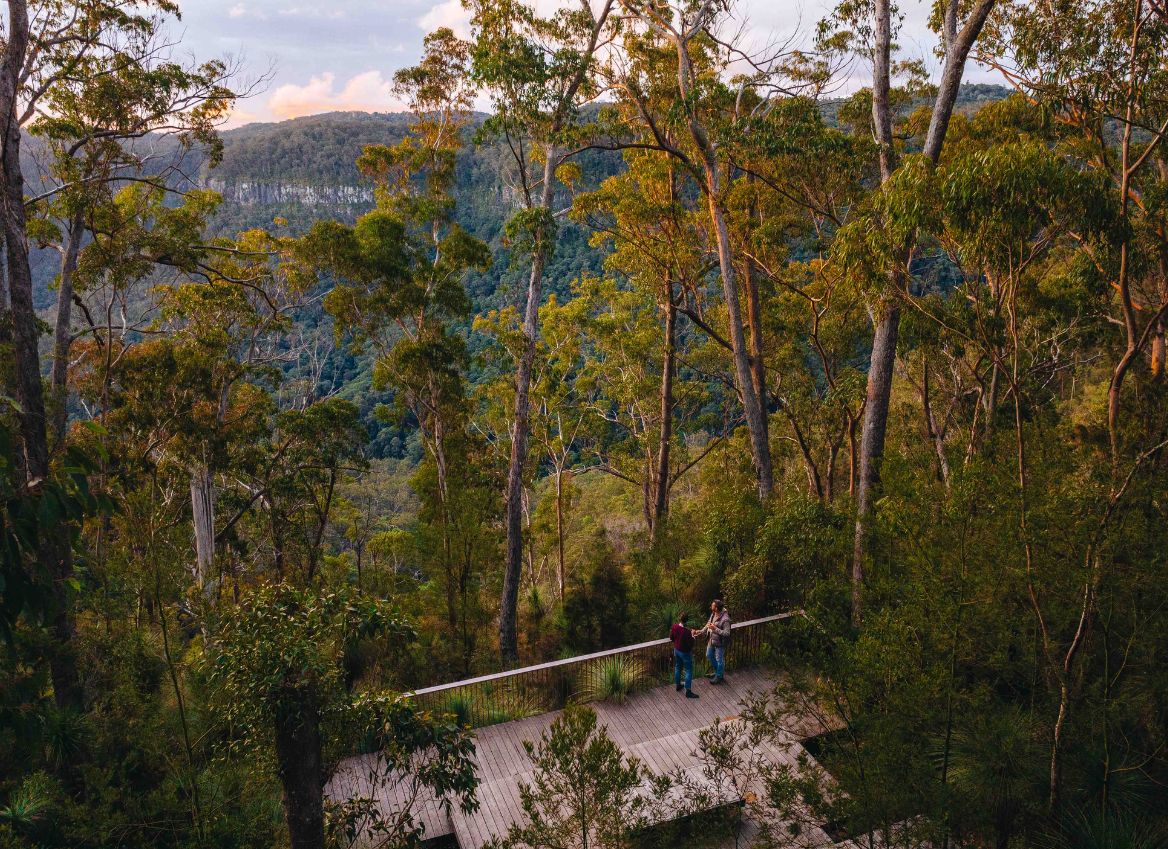
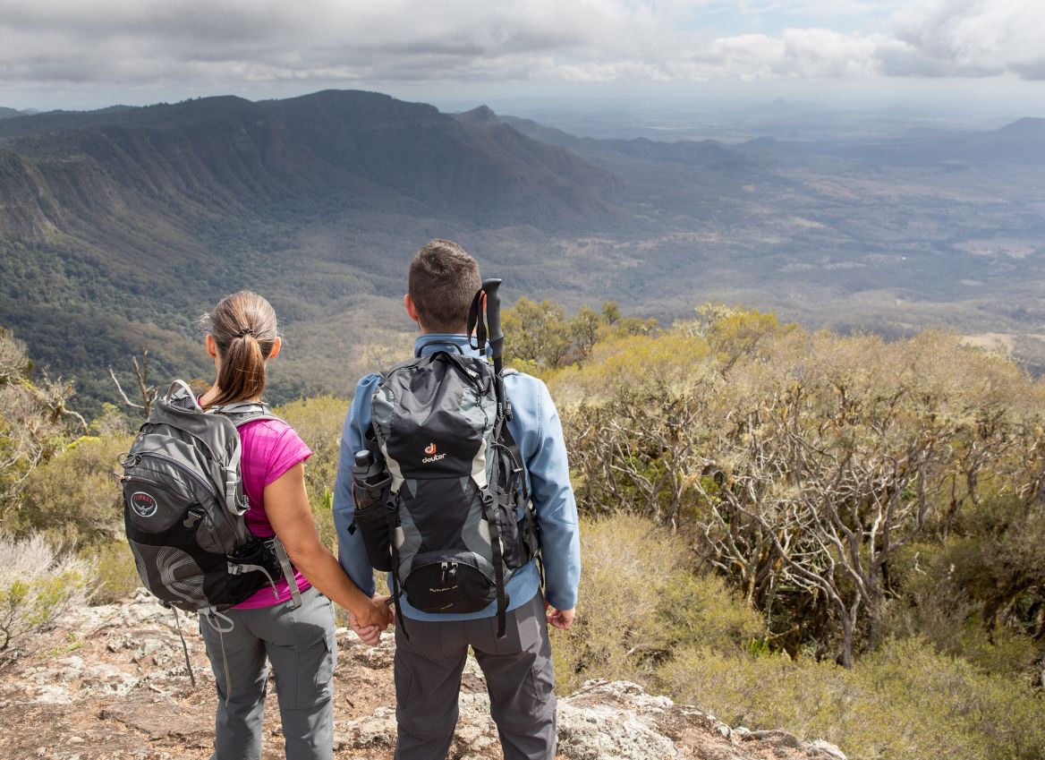
Stunning views
550m elevation gain
Open trail
Steep and rocky in sections with drop offs
DAY 2 – 18KM
First rainforest encounter
Wide trail not technical
Potential for knee high grass in sections
Walk past public walkers camp – Mt Castle
Follow access trail into camp from gate
DAY 3 – 16KM
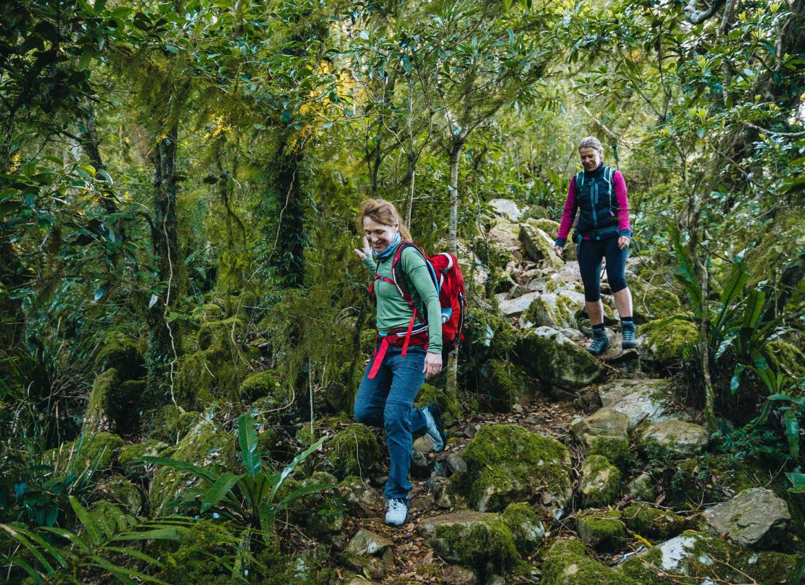
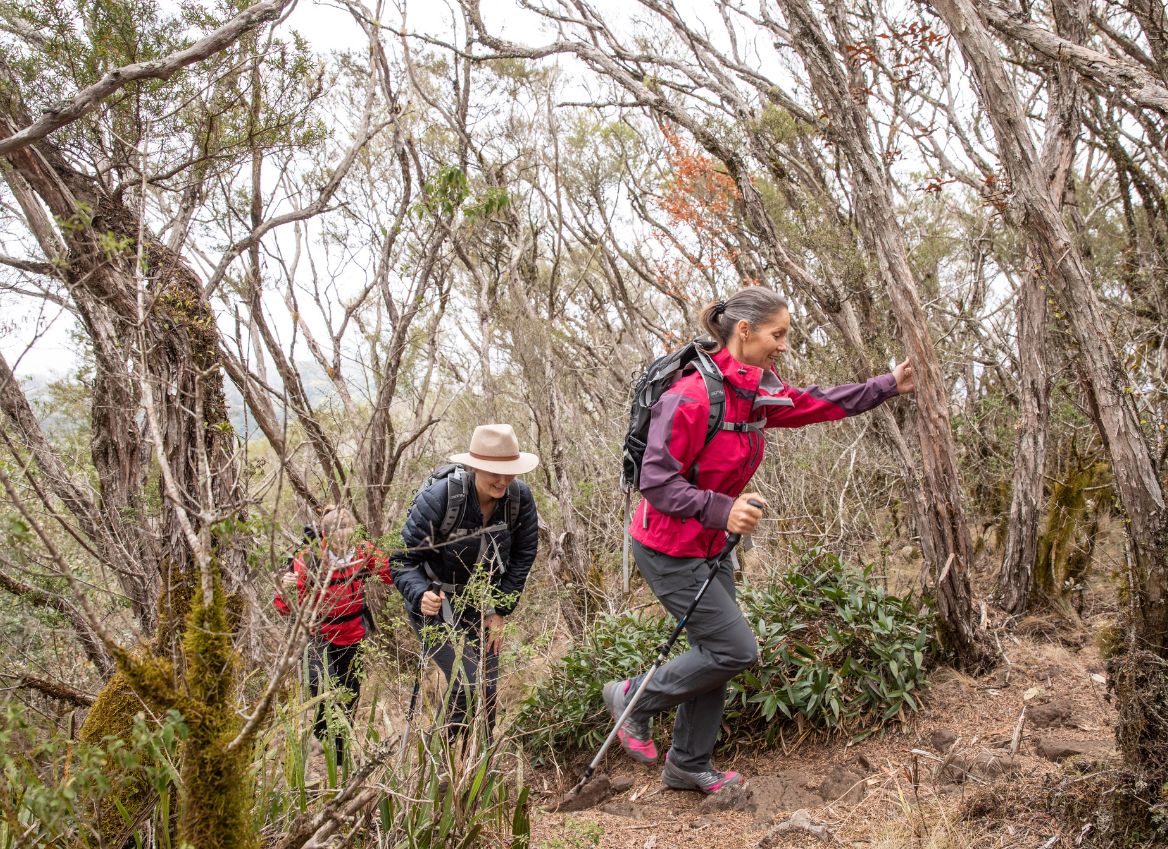
Rainforest immersion
Stunning views and lookouts
Extensive Grade 5 trail
Several creek crossings
Steep climb out of creek system
DAY 4 – 16KM
Heart warming climb at the start
Rainforest immersion
Walk past public walkers camp – Banshee
Extensive Grade 5 trail
Short rock scramble at Bare Rock
Emerge to 360 degree views
Join public trails
Approx. 2 hours from Bare Rock to end of trail
Transfer
Meet the bus at 2.30pm
Drive 15min to our base in Clumber
Drive home or meet pre-booked onward transfer
TOTAL 60KM (approx)
As a self-guided hiker you will need to carry detailed topographic maps in addition to digital maps for navigation.
We will provide you with GPX files for you to import into a mapping app such as Gaia and/or inReach Mini or similar. Please note that digital maps provide a guide rather than pinpoint accuracy.
Topographic maps with high level trail outline will be emailed to you for you to print prior to your arrival.
- In places the trail is indistinct, in others it follows formed walking tracks or old forest roads.
- Major trail junctions are signed, and triangular orange trail markers show the way in some spots.
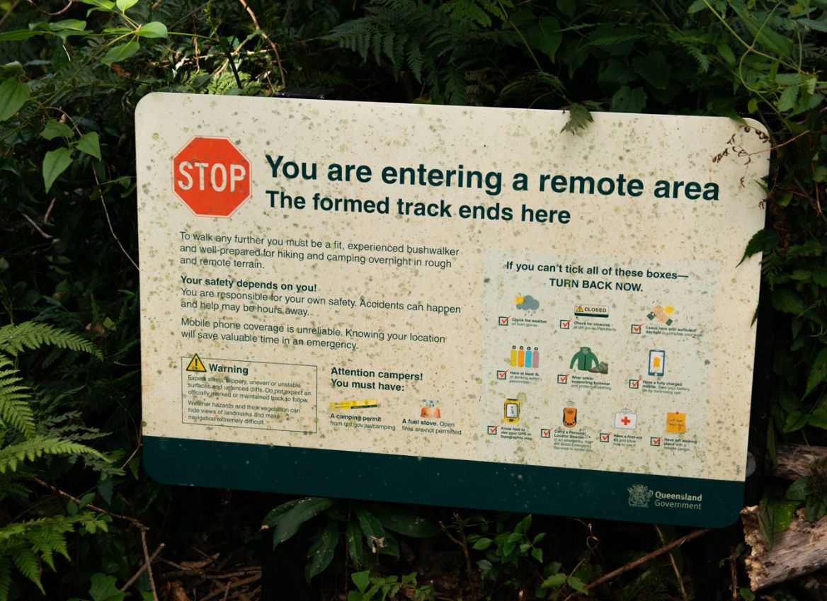
- Large sections of the trail may be extensively overgrown; hazards such as fallen trees, loose rocks and slippery surfaces are present.
- Note that trail markers may be overgrown or could have been dislodged by tree falls, trail markings and a well-worn path can’t be solely relied upon for this hike.
- Caution is needed near cliff edges and naturally occurring lookouts, at creek crossings and on slippery, muddy sections.
- During rain, the track becomes slippery and hiking more difficult and tiring, allocate more time in such conditions.
- Mobile phone service is limited, generally only available on ridgelines or cliff edges.
- Check BOM radar map regularly when in service as unforecasted storm cells can form on the range.
- Hiking poles are strongly recommended even if you’ve never used them before, the terrain requires them in sections.
- If you encounter a feral pig, stay calm and give them room to leave before continuing your walk, keep away from pig traps.
- Walkers need to be self-reliant, prepared for exposure to the elements or rapid changes in weather.
Grade 3 Formed track, some obstacles, 20 km or less. May have short steep hills and many steps. Some experience recommended.
Grade 4 Rough track. May be long and very steep with few directional signs. For experienced bushwalkers.
Grade 5 Unformed track. Likely to be very rough, very steep and unmarked. For very experienced bushwalkers with specialised skills.
Itinerary
Welcome to the Scenic Rim Trail
10km | Moderate to Hard | Grade 4 Trail | 600m Elevation | Open Exposed Trail
April – September – 8am meet at our Clumber base if you’re taking the trailhead transfer, your vehicle will be parked here for the duration of your trip. 8.30am prompt bus transfer to the start of the trail (approx. 1.5-hour drive).
October – March – 6am meet for a 6.30am transfer.
Alternatively own arrangements to the trailhead in Thornton and begin hiking
BYO lunch and trail snacks on day one
Self-guided hike to camp
Rocky, steep and narrow in sections
Arrive at the beautifully converted Mt Mistake Farmhouse
Rooms available from 2pm
Share style dinner served at 6pm
Please note: luggage porterage is not available for this tour. If you require porterage or are concerned about carrying your gear our Guided tours may be a more suitable option.
18km | Moderate | Grade 3 – 4 Trail | Forested Trail
Sunrise at Mt Mistake on a clear day is a highlight
Continental breakfast served between 7 – 8am
Grade 3-4 trails – moderate
Wide former logging trails identifiable trail
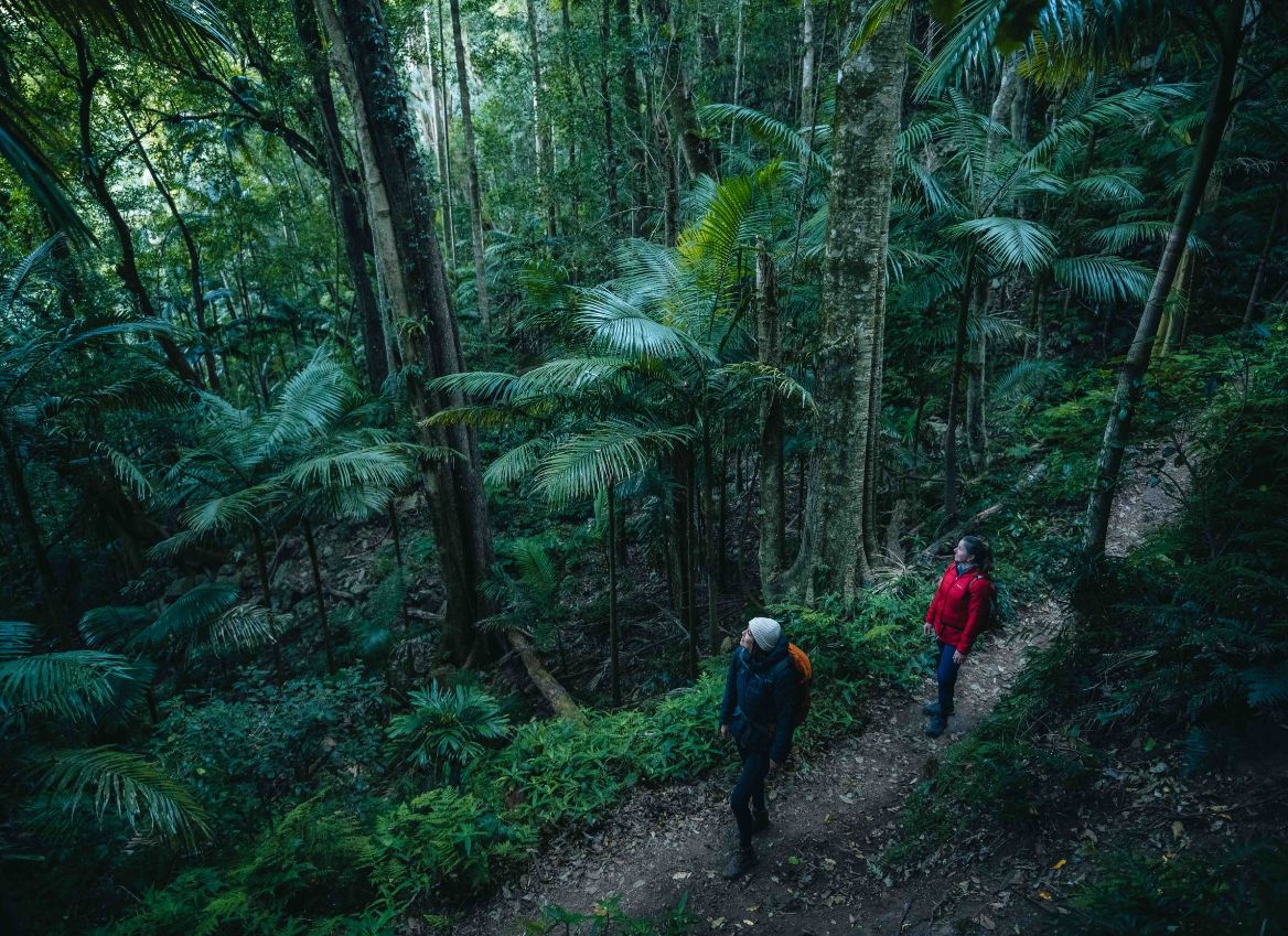
First Gondwana Rainforest encounter
Follow access trail to camp
Arrive at Amphitheatre Eco Camp, rooms available from 2pm
Share style dinner served at 6pm
16km | Moderate to Hard | Grade 5 Trail | Rainforest
Continental breakfast served between 7 – 8am
Grade 4 & 5 trails – moderate to hard
Leave camp by access trail
Emersed in Gondwana Rainforest all day
Rocky sections, tree roots, uneven ground
Grade 5 trail, minimal directional markers
Maps and skills required with multiple creek crossings
Arrive Timber Getters Eco Camp, rooms available from 2pm
Share style dinner served at 6pm
16km | Moderate to Hard | Grade 4 & 5 Trail | Rainforest
Breakfast served between 7 – 8am
Finalise payment for any beverages enjoyed before departing this morning
Grade 4 & 5 trails – moderate to hard
Grade 5 sections, minimal directional markers
Emersed in Gondwana Rainforest all day
Highlight is 360 degree views at Bare Rock
Rocky sections including scramble up to Bare Rock
Join public walker trails from Bare Rock onwards
Average 2 hours from Bare Rock to the bus meeting point
Meet the bus at 2.30pm at the Crest Car Park to transfer to our base at Clumber to meet your vehicle or for your onward transfer.
Inclusions
- 3 nights staying at a new camp nightly
- 4 days hiking self-guided
- Transfers to / from trail
- 3 breakfasts, lunches & dinners plus snacks
- All bedding & amenities
- National Park Permit
$1,500 pp twin share | $1,800 solo traveller
Tea & coffee included with a selection of beverages for purchase
Departures
October
4-Day Self-Guided
4-Day Self-Guided
4-Day Self-Guided
November
4-Day Self-Guided
March
4-Day Self-Guided
4-Day Self-Guided
4-Day Self-Guided
4-Day Self-Guided
April
4-Day Self-Guided
4-Day Self-Guided
4-Day Self-Guided
4-Day Self-Guided
May
4-Day Self-Guided
4-Day Self-Guided
4-Day Self-Guided
June
4-Day Self-Guided
4-Day Self-Guided
4-Day Self-Guided
4-Day Self-Guided
4-Day Self-Guided
July
4-Day Self-Guided
4-Day Self-Guided
4-Day Self-Guided
August
4-Day Self-Guided
4-Day Self-Guided
September
4-Day Self-Guided
4-Day Self-Guided
4-Day Self-Guided
4-Day Self-Guided
October
4-Day Self-Guided
4-Day Self-Guided
4-Day Self-Guided
4-Day Self-Guided
Frequently Asked Questions
The Scenic Rim Trail offers something increasingly rare — a multi-day, remote hiking experience through private and protected land, with access to private accommodation that independent hikers don’t often get in other locations.
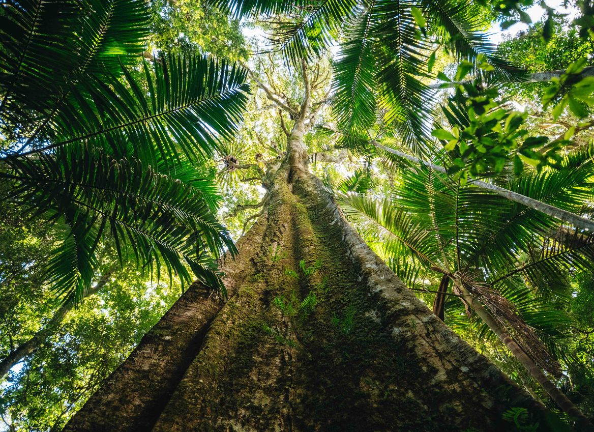
Unlike many well-known tracks, this is not a crowded or heavily developed trail. You’ll walk through a diverse landscape of ancient volcanic peaks, World Heritage Listed rainforest and open ridgelines with sweeping views, often seeing very few others along the way.
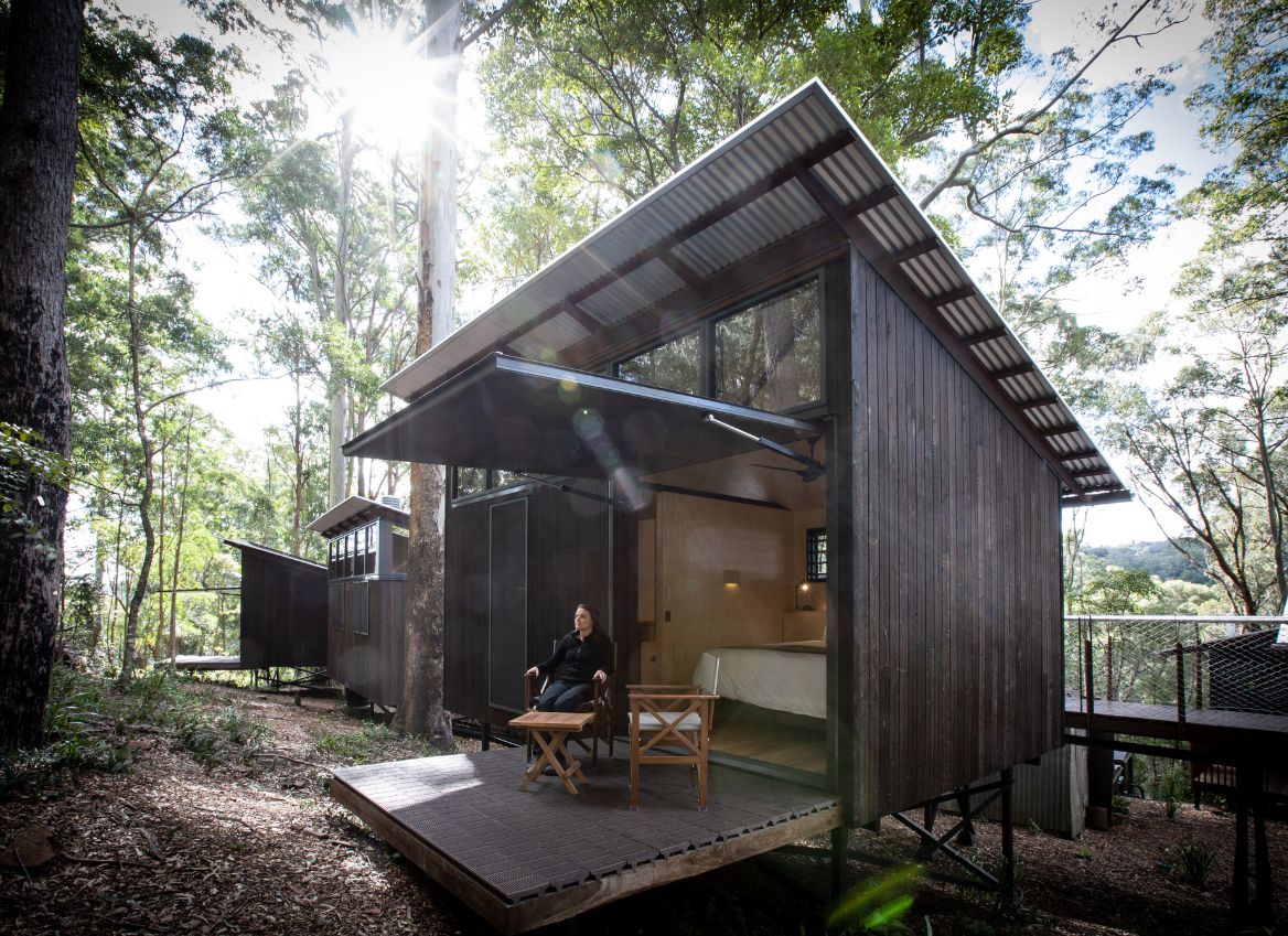
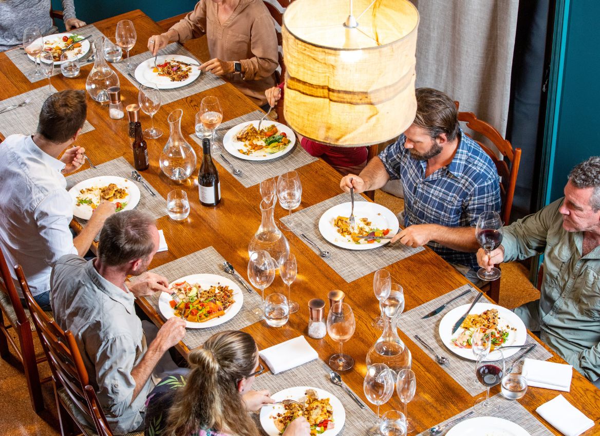
Each night, you stay in remote, eco-sensitive accommodation — a unique balance of comfort and immersion in nature. A thoughtfully designed off-grid experience that lets you disconnect without sacrificing the creature comforts. You’ll enjoy nourishing chef curated food each day and get to interact with likeminded people, while staying at the accommodation.
For self-guided walkers, this is a genuinely independent hiking experience. You’re not following crowds or relying on constant signage — you’re navigating through remote terrain using maps and GPS, making it ideal for those who want a deeper sense of adventure and achievement.
The Scenic Rim Trail is located approximately 1.5 hours west of Brisbane. We offer parking and return bus transfers from our base in Clumber.
Alternatively, you can arrange private transfers from Brisbane directly to the start of the trail in Thornton (2hrs) and from our base at the end back to Brisbane.
Hiring a car can often be cheaper than private transfers.
If you are parking at our Clumber base:
Please arrive by 8:00am
The bus departs promptly at 8:30am
Transfer time to the start of the trail is approximately 1hr 40mins
On the final day:
All hikers will meet the Scenic Rim Trail bus at 2:30pm
You will then be transferred back to our Clumber base for your onward journey
The minimum number is six for a date to be guaranteed.
If the date you have chosen does not meet minimum numbers you will be offered alternative dates (no fees to transfer) or a full refund.
The maximum is 14 people in seven rooms.
Minimum age is 12 for children.
No, luggage porterage is not available for self-guided tours. You must carry your own gear between camps. If you prefer a more supported experience please view our Guided 4-day walk, which has the option for porterage.
Arrive fit, experienced, and confident you can complete the trail.
Carry essential safety gear (PLB, first aid kit with snake bandages) and know how to use it.
Be prepared for extreme and changing weather, refer to our packing list.
Check the BOM weather radar map when in service (generally on the ridgelines), localised storms in the mountains aren’t always forecast.
Start walking by latest 9am each day to maximise daylight and allow a safe, steady pace.
This is a self-guided, remote hike, and you should not rely on trail markings alone.
We provide GPX files for each day, which you’ll use alongside a navigation app (such as Gaia GPS) and printed topographic maps.
Some sections of the trail are marked, however there are extended areas where the track is unmarked or may be difficult to follow if there have been environmental changes such as a fallen tree.
You should be confident:
Reading topographic maps
Using a GPS and/or mapping app
Making decisions if the trail becomes unclear
For safety, we strongly recommend carrying multiple navigation tools including e.g. phone + paper maps + GPS device such as a Garmin inReach Mini with GPX maps installed. Please note that mobile service is very limited so you must be able to rely on alternative solutions.
We will provide you with topographic maps.
For more detailed topographic maps you can download and print the below maps from Qtopo. Please ensure you carry 1:25,000 scale maps covering the following areas:
Day 1: Thornton 9342-24
Day 2: Glen Rock 9342-23; Townson 9342-22
Day 3: Glen Rock 9342-23; Townson 9342-22
Day 4: Glen Rock 9342-23; Mount Develin 9341-14; Cunningham’s Gap 9341-11
If you are not comfortable with the below you should consider our fully supported and knowledge rich Guided hikes as an alternative.
Not suitable if:
- Not confident navigating remote bush environments with limited signage, road access, and little to no mobile reception
- Unable to manage basic first aid for yourself or others if required
- Do not feel competent planning for and adapting to changing weather conditions
- Unfamiliar with the risks associated with remote hiking and how to respond to them
- Not confident navigating remote bush environments with limited signage, road access, and little to no mobile reception
- Unable to comfortably walk 15km per day over 4 consecutive days on uneven bush terrain
- You feel unstable on your feet — the trail includes rocky, steep, and potentially slippery sections
- Unable to carry your own backpack (no porterage is available on self-guided tours)
- You do not have a good level of aerobic fitness for sustained uphill climbing and endurance walking
This is a remote, self-guided experience. While support is available at camp, you are expected to be self-reliant on the trail.
As an experienced outdoors person you need to know first aid, carry a first aid kit and understand emergency management in remote areas.
If it is a life or death or critical injury emergency trigger your Personal Locator Beacon it is expected that you understand how these work and what happens.
If you have an injury or illness and are not able to hike the next day or for the rest of the tour your host will work on plans with you.
If you need to be transported to the next camp a $250 charge will apply if a special trip is required. If a team member is going in that direction and you can get a lift easily we won’t charge you.
If you need to be extracted from the accommodation there will be a $500 charge for us to have a team member pick you up. In this case we will drive you to our base in Clumber and onward arrangements will need to be made from there. Please note there may be delays in arranging a pick-up given the remote location.
As a self-guided hiker you are responsible for getting yourself from camp to camp.
If there is an emergency at camp your host will facilitate an action plan. We have first aid kits and defibrillators at each camp.
As a self-guided hiker you will be staying at our Scenic Rim Trail private eco-camp accommodation with a host at each location.
Camps are accessible from 1pm, with rooms available from 2pm. We recommend leaving camp by no later than 8.30am each morning.
Night 1: Mt Mistake Farmhouse – a beautifully restored farm house with six bedrooms with ensuite inside and a standalone renovated log cabin. The trail on day one will bring you directly to the farm house, go through the gate at the lookout and walk to the house where your camp host will be waiting to greet you from 1pm.
Night 2: Amphitheatre eco-camp. Our second camp is not sign posted for the public so you will be given specific instructions for the Mt Castle junction. You will come to a locked gate, which you will skirt around and then follow the access road to camp, approx. 45min – 1hr walk from the gate, your camp host will be waiting to greet you.
Night 3: Timber Getters eco-camp, starting the day walking back out the access trail you will then join single track and head deep into the rainforest. When you emerge at the end the day you will meet a junction, public walkers head left to the Banshee walkers camp and you will head right down the hill to Timber Getters (5min walk), where your camp host will be waiting to greet you.
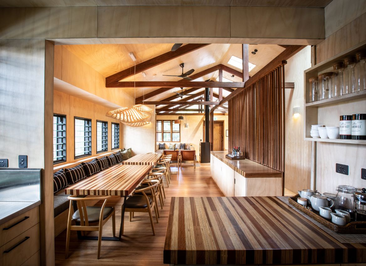
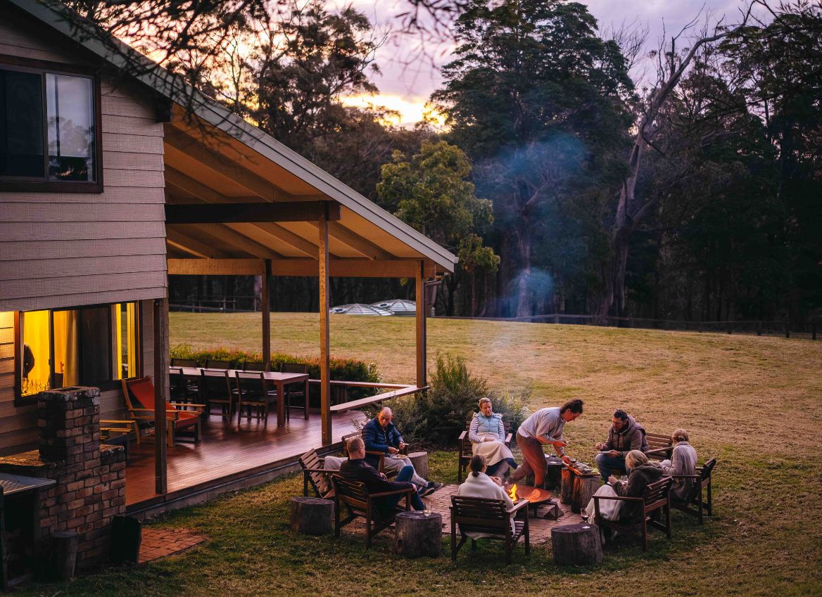
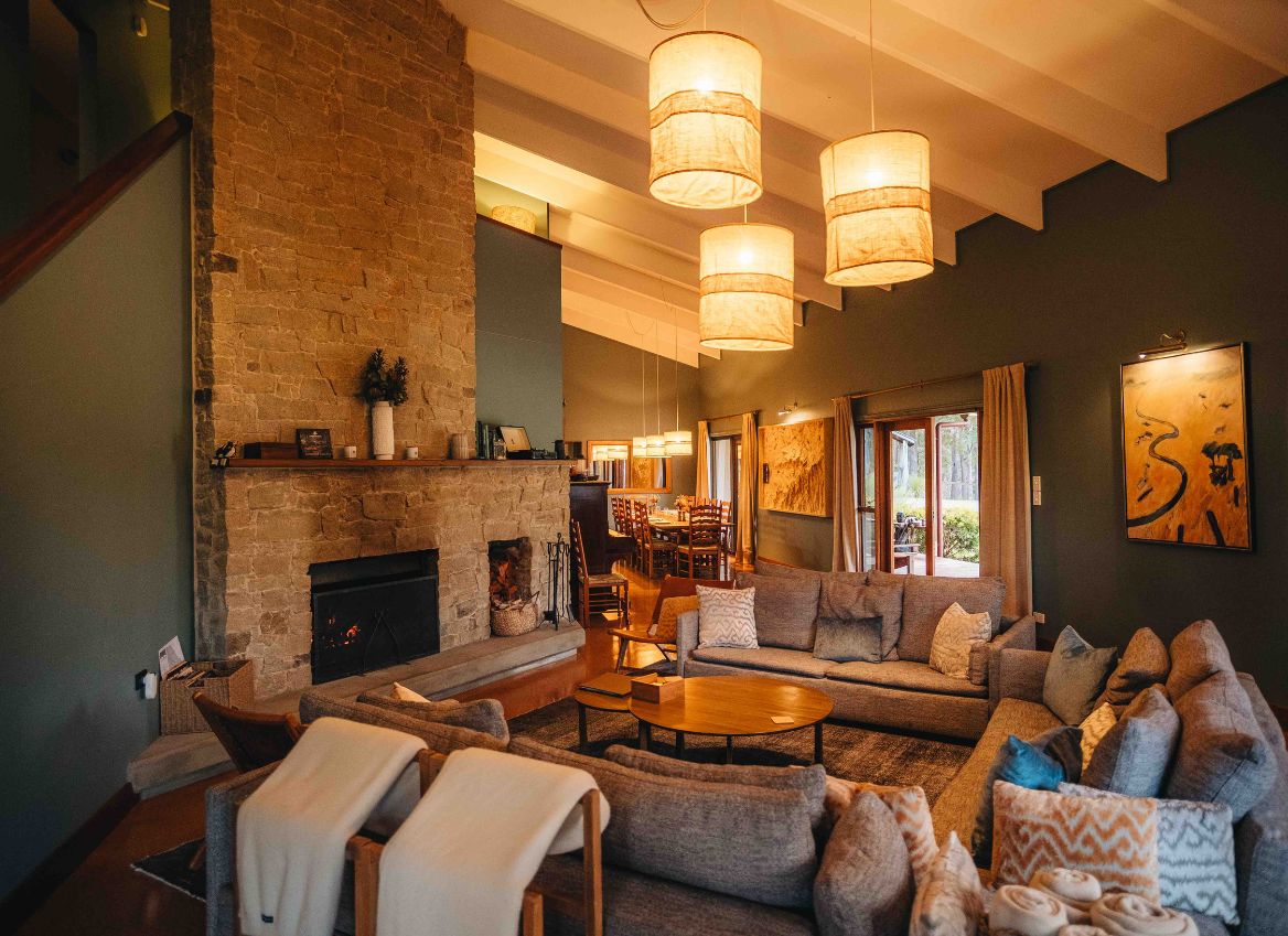
You will have a host at camp who will prepare all meals and be available for any questions. All camps are completely off-grid with solar power and rain harvested water. Each camp has a communal lounge with a gas or wood fire place.
Provided:
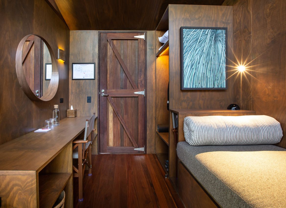
- Individual cabin / room
- King single beds
- Sheets, pillow case, towel (at each camp, no need to carry)
- Pillow, feather duvet, wool blanket, electric blanket for winter
- Hot shower (timed to 5 minutes)
- Shampoo, conditioner, body wash, moisturiser, sun cream
- Hair dryer in bathroom for communal use
- Mud room
- Tea and coffee available at anytime complimentary
- Bar fridge with drinks for purchase – soft drink, beer, wine (honesty system tallied daily and paid on final morning)
What you need to bring
- Lunch and snacks on day one
- Extra snacks for yourself (optional)
- Coffee flask to take a hot drinks on days 2 – 4 (optional)
- Water bladder or bottles with 3L capacity (always carry more than you need)
What we provide
- 3 breakfast, 3 lunch, 3 dinner and trail snacks
- Continental breakfast served 7 – 8am – muesli, yogurt, fruit, toast, spreads, boiled egg/s, tomato, avocado
- Trail snacks – muesli bar, trail mix (nuts & sultanas), piece of fruit e.g.: apple or mandarin
- Lunches – chicken bean salad in thermos, minestrone soup in thermos, a substantial wrap
- Afternoon snack – fresh fruit & bakery item
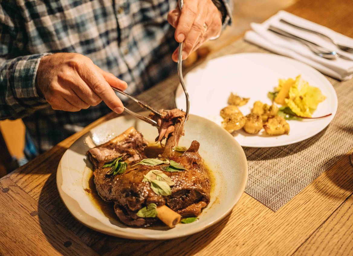
- Share style dinner served at 6pm nightly example: roast lamb, lemon potatoes, cucumber, radish, golden beet salad, vegan moussaka, bread & butter
Beverages
- All water at camp is rain water and UV treated so you can fill your bottles or drink from any tap
- Tea and coffee is available in the lodge at anytime we have cow milk and an alternative non dairy
- Beverages for purchase – Coke, Sprite, Kombucha, Pale Ale or Lager Beer, Heaps Normal non-alcoholic beer, Half bottles of wine – Shiraz, Pinot Noir, Pinot Gris, Chardonnay, Champagne (only by the half bottle not by the glass)
Beverages are paid for on the final morning via direct bank transfer or with an online payment link if required.
A detailed packing list and trip overview you will be provided once booked.
- Navigation tools (Topo Maps, Compass, Gaia/AllTrails App)
- Personal Locator Beacon
- Hiking pack with raincover
- Dry bags for your gear
- Remote area first aid kit including snake bandages
- Water bottle / bladder min 2.5L (3L in warmer months)
- Hiking shoes worn recently and regularly (do not wear old shoes)
- Quality rain jacket and rain pants if weather requires
- Fleece jumper
- Light weight down jacket (puffer)
- Thermals in winter or if susceptible to the cold
- Gloves / beanie
- Hat, sunglasses, neck gaiter
- Head torch, batter pack
- Toilet kit – trowel, paper, ziplock bags, sanitiser
- Hiking poles – strongly recommended
- Whistle, emergency bivvy, space blanket
- Repair kit – gorilla tape, cable ties, multi-tool/swiss army knife
- Paracetamol, ibuprofen, anti-histamine, electrolyte
- Prescription medications (we cannot transport medication)
- Lip balm, chafe cream, sanitary items
- Insect repellant, tick freeze
- Light weight hiking pants & shirt/s
- Dry set of clothes – pants, jumper, jacket, shirt
- Socks and underwear
- Toothbrush & paste, deodorant, hair brush
- Sleep wear – PJ’s, thermals or dry clothes (warm in winter)
- Inside shoes for camp
- Phone charger
- Gaiters
- Plastic bag dry bag for dirty clothers
- Coffee thermos for hiking (optional)
- Additional snacks (optional)
Scenic Rim Trail Provides: all bedding, towels, trail mix container, shampoo, conditioner, body wash (can be used to wash clothes), moisturiser, suncream, insect repellant at camp, Wi-Fi in lodges.
If travelling in winter please pack accordingly as QLD winter can be underestimated.
- The ladder on day one is reserved for guided tours, it is strictly off limits for safety.
- We strongly recommend hiking poles for this trail, this terrain requires them.
- There is a toilet at the start of the trail otherwise be prepared for bush toileting.
- The group will help clear the table and bring dishes to the sink after meals.